
Multiple chances for snow could bring some accumulations to parts of the Chicago area, but what you’ll see will depend on where you live.
After flurries Wednesday morning, two more rounds of potential snowfall could hit parts of the Chicago area Thursday and Friday, according to the NBC 5 Storm Team. And it could have a greater impact on commuters.
Here’s a look at what to expect:
Thursday
While Thursday looks to start off dry, the afternoon and evening hours could see the first wave of snow.
Scattered showers will begin moving in from the northwest to the southeast, though it remains unclear where the snow will eventually hit, according to NBC 5 Storm Team Meteorologist Kevin Jeanes.
“This should be kind of spotty. And so accumulations would be minor, maybe just a dusting really through the first half of Thursday night,” Jeanes said.
Thursday will also see temperatures in the mid-30s, with dry conditions in the morning but the chance of snow developing around 5 p.m.
Snowflakes were expected to move further east around 7 p.m. Thursday night, with light scattered snow showers expected across Chicago.
Friday
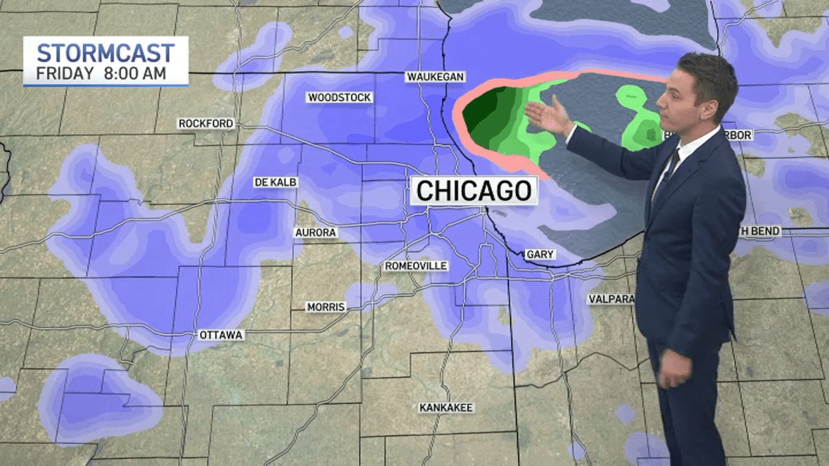
The bigger chance for snow arrives closer to daybreak on Friday.
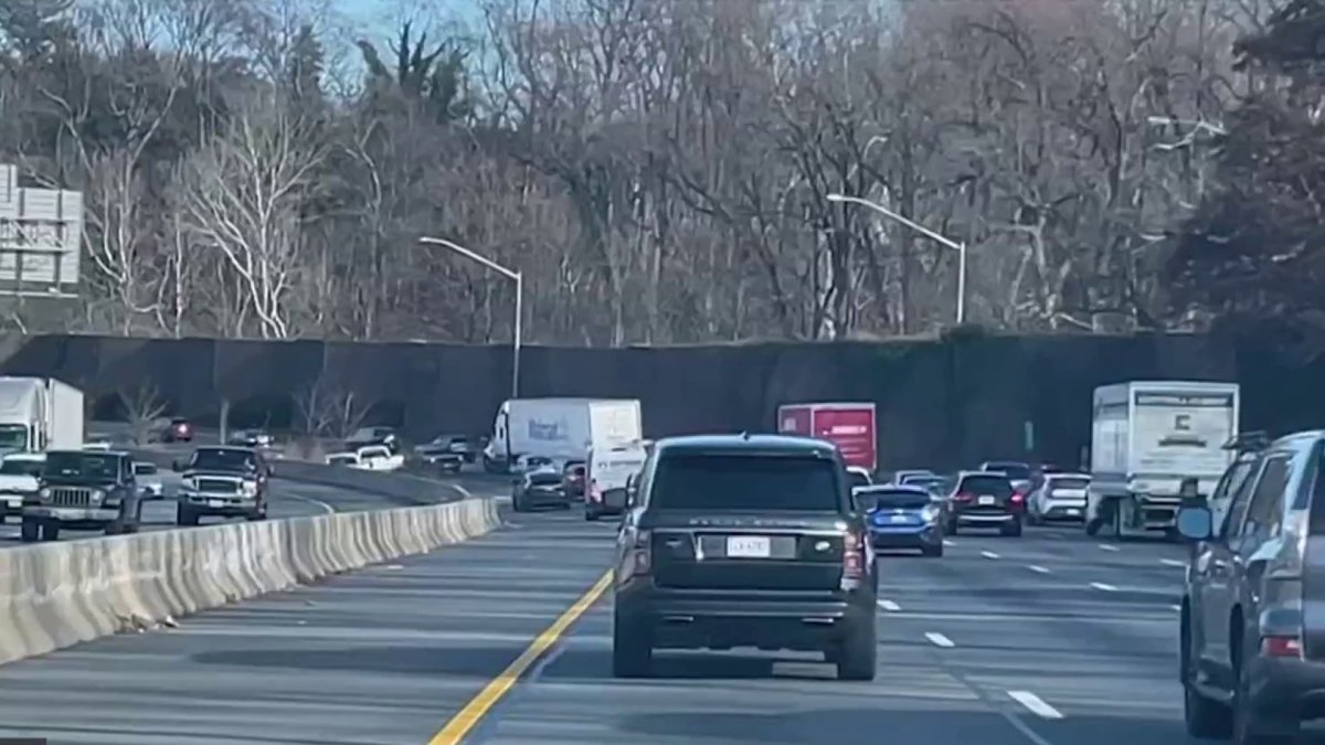
“There’s a better opportunity of some more accumulating snow with a few bands of heavier snow that may only last for an hour or two,” Jeanes said. “But Friday morning, this could impact the morning commute.”
A couple bands of heavier snow could move in with this system before it exits in the afternoon hours.
Lake effect snow showers are also possible across northwest Indiana, along with parts of Cook County. The threat for lake effect snow continues into the weekend.
Snow Totals
Totals Thursday will likely remain minimal, according to projections Wednesday morning. But Friday morning’s totals could range between 1 and 3 inches, with areas father north — like northern Cook, Lake and McHenry counties — seeing the highest totals.
Look Ahead
While temperatures will remain in the mid-30s Friday, they’ll dip into the 20s Saturday, NBC 5 Meteolrogist Alicia Roman said. But the cold spell won’t last long, with rebounding temperatures Sunday and readings in the 40s by the middle of the week.
“After [the weekend], we warm up. Every day gets warmer through Christmas Day and even after we’re still around 50 degrees,” Jeanes said.
Christmas Day’s high temperature this year is predicted to be 43 degrees, Roman said. By the end of Christmas week, temperatures are expected to top out in the upper 40s.
Will Chicago have a ‘White Christmas’?
According to the NWS, a holiday is considered a “White Christmas” when there is at least one inch of snow on the ground on Dec. 25.
But there haven’t been many of those in Chicago in recent years. According to the NBC 5 Storm Team, we’ve only had three since 2010, with the most recent occurring in 2022.
According to Roman, the Chicago area expects to see above average temperatures from Dec. 25 through Dec. 31, with a partly sunny and dry Christmas Day. While the day after Christmas could see a chance for showers, temperatures well above freezing will keep precipitation in the form of rain.



Leave a Reply